Tropical Storm Imelda formed over the Bahamas Sunday afternoon and is expected to intensify into a hurricane, and while its forecast is less ominous for the Southeast coast, the storm will still be felt there.
Newly-formed Imelda has maximum sustained winds of 40 mph and is 335 miles southeast of Cape Canaveral, Florida, as of 8 p.m. ET, according to the National Hurricane Center.
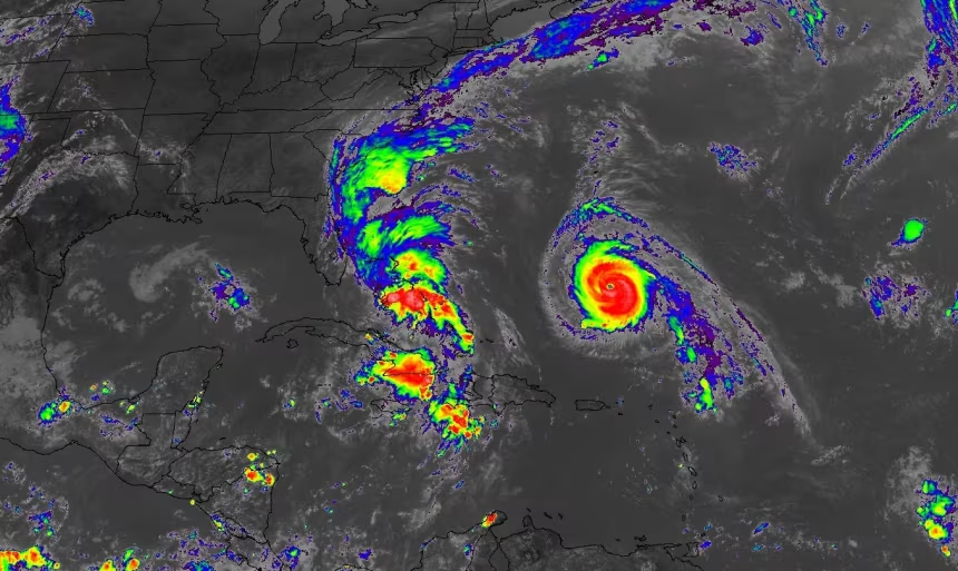
Tropical storm warnings are in effect for the central and northwestern Bahamas where the tropical storm is currently wringing out heavy rain. Rainfall totals could range from 4 to 12 inches in the Bahamas and eastern Cuba, more than enough to trigger flash flooding.
The eventual path of Tropical Storm Imelda has been trending away from a direct landfall along the Southeast coast over the last 24 to 36 hours. After moving north and parallel to Florida’s Atlantic coast through Monday, the storm is now expected to make an abrupt turn east and away from the coast while intensifying into a hurricane by late Monday or Tuesday.


Deja un comentario